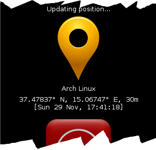
PuntoGPS is a simple tracking application to show your geographic location in real-time
to others, e.g. during urban bike rides :)
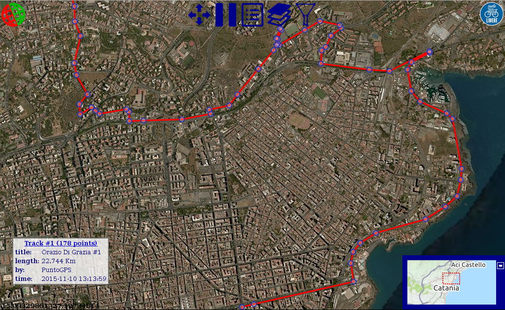
It can also be used to view/edit/save/export your recorded tracks.
It's made up of a GPS tracking app
and a web based map.
No user account nor registration is required.
Users can set a short status message to identify (the default is the device name).
The app sends the current position to the map server.
It can be run on any GPS equipped device.
Only the Android release has been published at present,
but it can be built for any other platform (e.g. iOS) from the same source code.
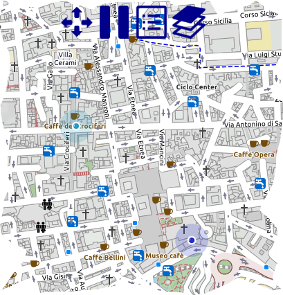
The web map shows the current position of the active users, allowing others to find them.
It runs on any browser and supports a great variety of tile layers (Open Street Map and Google Satellite among others).
The default service is hosted on my site for free,
but it can be installed on any other web server
(i.e. your personal blog or your bike-team site).
The default web map service is hosted in my personal site.
You are welcome to freely use it, but be aware that no data are actively manteined.
If you need to securely store your data, read the map
documentation to find out how.
It's free, open-source, portable and cross-platform.
You can get both the sources and the last binaries at the
sourceforge project page
|